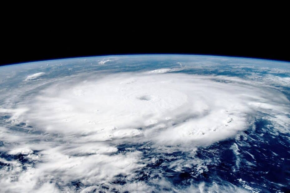
Hurricane Beryl may be a stark preview of what’s to come

photo by NASA/Matthew Dominick, Public domain, via Wikimedia Commons
Hurricane Beryl may be a stark preview of what’s to come
The monster storm is a history-maker, fueled by extremely high ocean heat and proving the Atlantic season is off to an extremely active start

Hurricane Beryl’s rapid evolution from a tropical depression to a major Category 5 threat so early in the summer is raising alarms that forecasts for a “hyperactive” Atlantic storm season might be on target.
Late Monday, the churning Beryl escalated to Category 5 intensity, packing maximum sustained winds of 165 miles per hour — unprecedented this early in the Atlantic season, according to the National Hurricane Center. It became the strongest July Atlantic hurricane on record, surpassing the 160-mile-per-hour maximum winds set by Hurricane Emily in 2005. Before Emily, Hurricane Allen in August 1980 held the record for the earliest Atlantic hurricane clocking 165-mile-per-hour winds.


