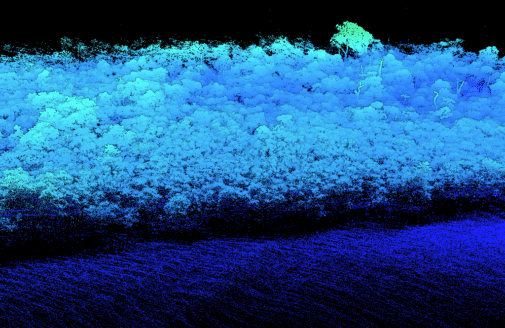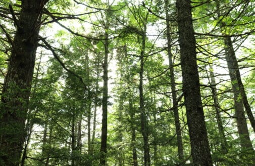
I am a geographer who uses spatial analysis and remote sensing to study the terrestrial effects of climate change. My current work includes designing a global index to quantify landscape services and potential, mapping forest carbon storage, and conducting tailored analyses.
In previous roles, including in the U.S. Geological Survey and the National Autonomous University of Mexico, I researched snowmelt on the Alaskan North Slope, contributed to forecasting geomorphic and ecological changes along the Northeast Atlantic coast, and modeled pollinator distributions across Mexico.
I received my B.A. in geography and M.S. in geographic information science from Clark University.