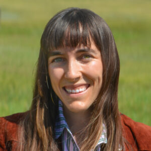
I assist the cartography team in developing maps and visualizing environmental data to communicate the impacts of climate change. Over the past six years, I have worked at the intersection of GIS, remote sensing, and environmental science—applying data-driven solutions to a range of environmental applications.
I recently graduated from University of California Santa Barbara with a Masters of Environmental Data Science. I spent the past two years as the Program and Communications Coordinator for NASA Acres, where I helped launch the program and coordinated a portfolio of national-scale research projects focused on advancing the use of satellite data to support U.S. agriculture and food security. Previously, I worked as a Geospatial Analyst for an environmental nonprofit in Northern Colorado, contributing to forest and riparian restoration efforts.
Across my previous roles, my focus has remained consistent: translating environmental data into meaningful action. I’m excited to be helping communicate the vital science happening at Woodwell Climate and collaborating with incredible scientists—helping ensure their work informs both understanding and impact. In the future, I hope to continue following my passion for visual science communication, with a focus on cartography and data visualization.
I work remotely from Steamboat Springs, Colorado. When I’m not making maps or wrangling data, I like to spend my time outdoors including backpacking, snowboarding, and mountain biking.


