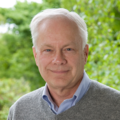
I am an environmental geologist, and work with remote-sensing satellite tools to map vegetation and determine rates of land use change. I also use satellite imagery and GIS data to determine the rates of deforestation in Siberia, Amazonia, Panama, and in the northeastern US. The results of this research help determine biotic contributions to global climate change, and provide information for land use planning.
Before joining Woodwell Climate, I held a research position in remote sensing at the Ecosystems Center of the Marine Biological Laboratory in Woods Hole. I received my master’s degree in earth sciences from Dartmouth College.


