Using LiDAR to produce unprecedented forest carbon science
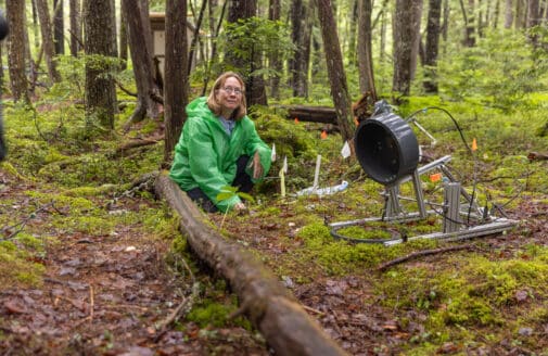
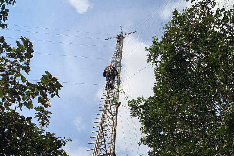
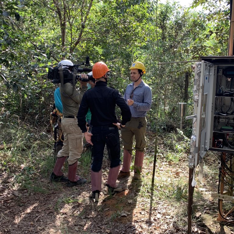
Photo of our scientists working with field LiDAR
Scientists at Woodwell Climate Research Center use a decades-old technology in innovative ways to monitor forest carbon. LiDAR (light detection and ranging) can measure tree height and size, capturing the canopy in incredible detail and converting it to data that can be analyzed and used to guide forest and climate policy.
Above: Yucatan transect
LiDAR measures distance to a target using pulses of laser light and measuring differences in laser return times and wavelengths to make three-dimensional digital representations. It can be ground-based, plane- or drone-based, or even space-based. It can measure the lay of the land across a large area – with or without natural features like trees or man-made features like buildings.
Above: Satellite map showing carbon density. This image has been cropped
Plane-based LiDAR provides the most detailed and most useful imaging over a large area, but cost is an issue as chartering and fueling planes comes with a high price tag.
Woodwell scientists Dr. Wayne Walker and Dr. Alessandro Baccini used LiDAR extensively in their landmark 2017 study showing human-driven degradation is causing tropical forests to lose more carbon than they are sequestering.
“LiDAR fills the gap between field data and planetary knowledge,” says Woodwell scientist Dr. Wayne Walker, who’s been using LiDAR in his work for 20 years.
“Without it, we’d never have been able to extend our work from assessing individual forest canopies to monitoring and verifying global carbon storage.”
NASA has installed the Global Ecosystem Dynamics Investigation (GEDI) LiDAR system on the International Space Station, aiming to measure how deforestation has contributed to atmospheric carbon pollution.
GEDI is expected to produce about 10 billion cloud-free observations during its planned 24-month mission. Former WHRC Deputy Director Scott Goetz serves as Deputy Principal Investigator of the GEDI team. GEDI joins ICESat-2 (Ice, Cloud, and land Elevation Satellite) as part of NASA’s Earth Observing System.
At the Tanguro ranch research facility in Brazil, Woodwell Climate scientists used LiDAR for a study that showed fire-damaged trees are especially vulnerable to windstorms for several years or even decades—especially the largest, and most carbon-rich trees.
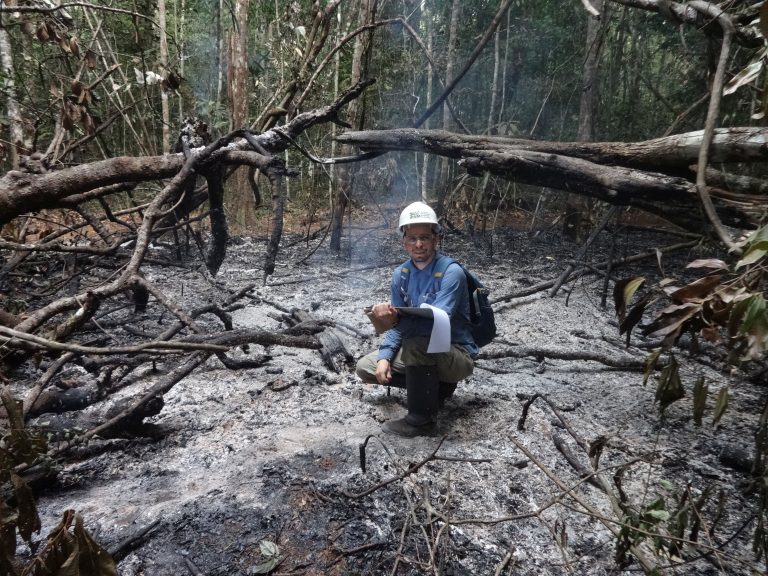
“It’s critically important that we learn all we can about how to protect the forest’s remaining canopy, especially for the oldest and largest trees that provide the most wildlife habitat, cycle the most moisture through the ecosystem, and store huge amounts of carbon,” said Woodwell scientist Dr. Paulo Brando. “By protecting large tracts of intact forests, we reduce degradation, because there is less vulnerability than there is on the edges.”
By protecting large tracts of intact forests, we reduce degradation, because there is less vulnerability than there is on the edges.Dr. Paulo Brando