Meeting the moment: Fund for Climate Solutions awards five new grants
From Mongolia to the Cerrado, FCS projects are tackling climate’s most pressing research questions
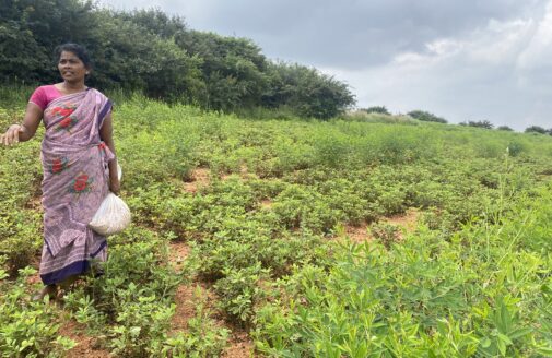
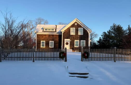
The Brazilian Cerrado.
photo by Manoela Machado
Thanks to the generosity of the Woodwell donor community, the second round of 2025 Fund for Climate Solutions (FCS) awardees has been announced. The FCS supports innovative, solutions-oriented climate science through a competitive, cross-disciplinary process. With $10 million raised to date, donor support has already fueled 79 research grants and leveraged millions of dollars in additional research grants since the program’s launch in 2018. In today’s volatile environment for climate research and policy, this summer’s five recipients are channeling their ambition and creativity into solutions that address urgent, real-world needs.
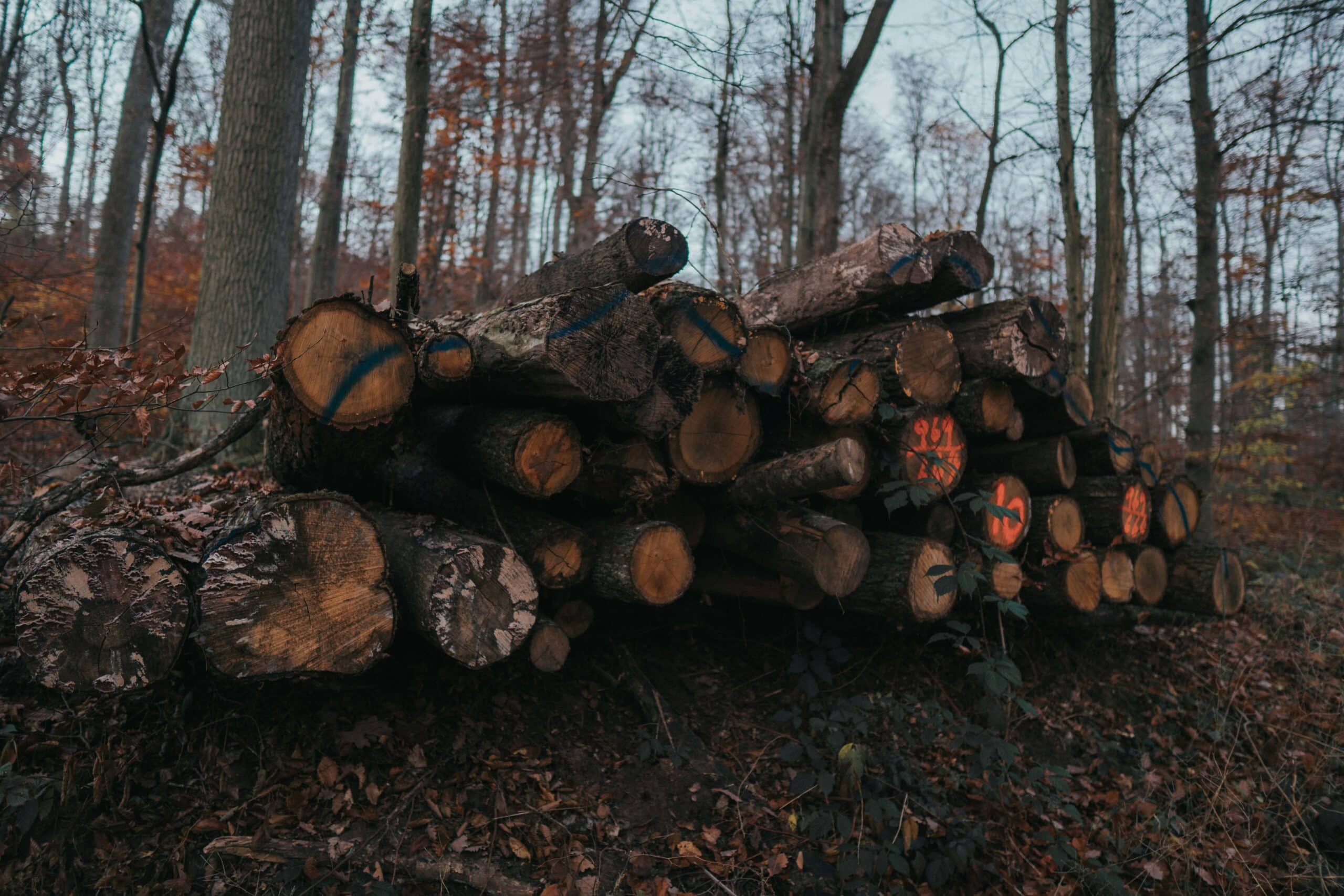
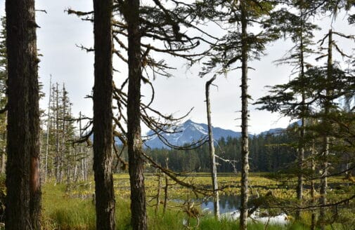
photo by Jannis Edelmann
Tracking forest structure and emissions from logging mature and old-growth forests on federal lands
Leads: Dr. Richard Birdsey, Dr. Wayne Walker, Seth Gorelik
The federal administration has ordered the Forest Service and Bureau of Land Management to increase logging of federal forests by 25% over the next few years, with detailed project-level planning expected before the end of 2025. There are few, if any, guardrails that protect the most valuable young, mature, and old-growth forests. With collaborators from Conservation Biology Institute, World Resources Institute, and Natural Resources Defense Council, this project will track carbon stock reductions from greatly scaled up logging, especially where it targets older forests. The team will also model the impacts of a 25% increase in logging across all federal lands. Their methods build upon extensive prior research, and will integrate data from satellite observations, forest inventories, and published activity reports to provide analysis that can support public engagement and policy analysis.
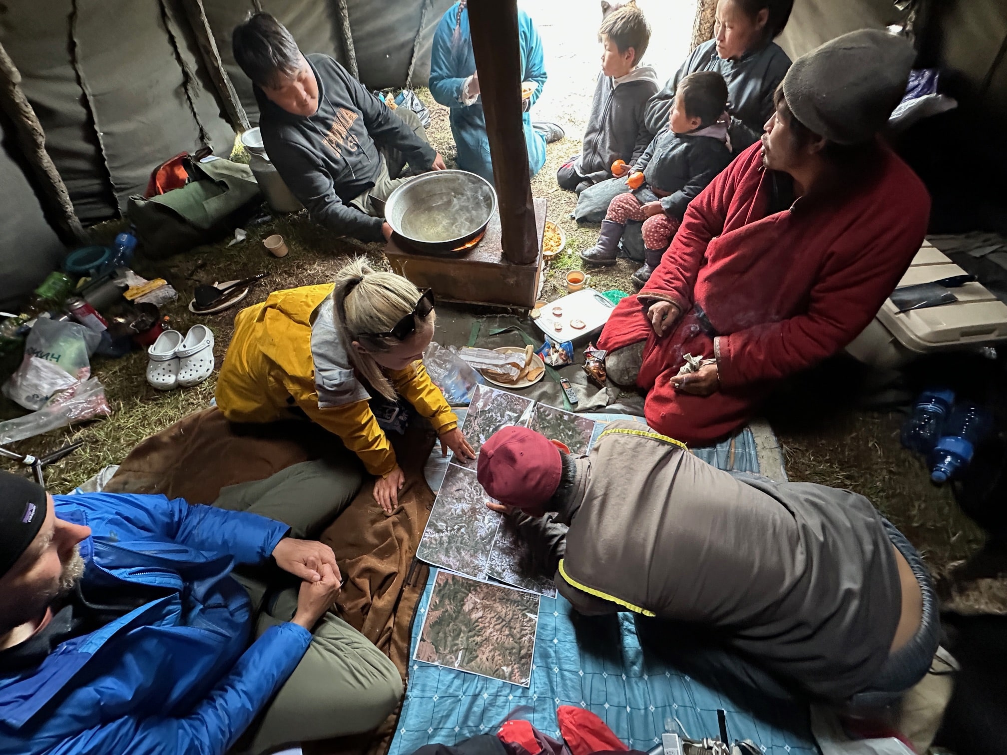
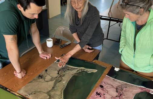
Examining maps in Mongolia.
photo courtesy of Greg Fiske
Mongolia grazing lands initiative: Knowledge co-production and mapping with Dukha reindeer herders in Mongolia
Leads: Greg Fiske, Christina Shintani, Jackie Dean
The Dukha people of Mongolia, like other Indigenous peoples, have lived respectfully and in harmony with the land since time immemorial. Now, their lifeways are being challenged by climate change and land use decisions made without proper consultation and consent. On the Mongolian Plateau, the rate of summertime warming is three times faster than the average for Northern Hemisphere lands, causing permafrost thaw and changes in vegetation. The project team will map land use changes impacting Indigenous grazing lands in Mongolia and train Indigenous reindeer herders in GIS map storytelling tools. Grounded in co-production of knowledge, this work will build on past successes working with Sámi reindeer herders in Norway and Indigenous communities in Alaska. It will also expand Woodwell’s rangeland work into East Asia, leveraging existing partnerships with Esri and the International Centre for Reindeer Husbandry.
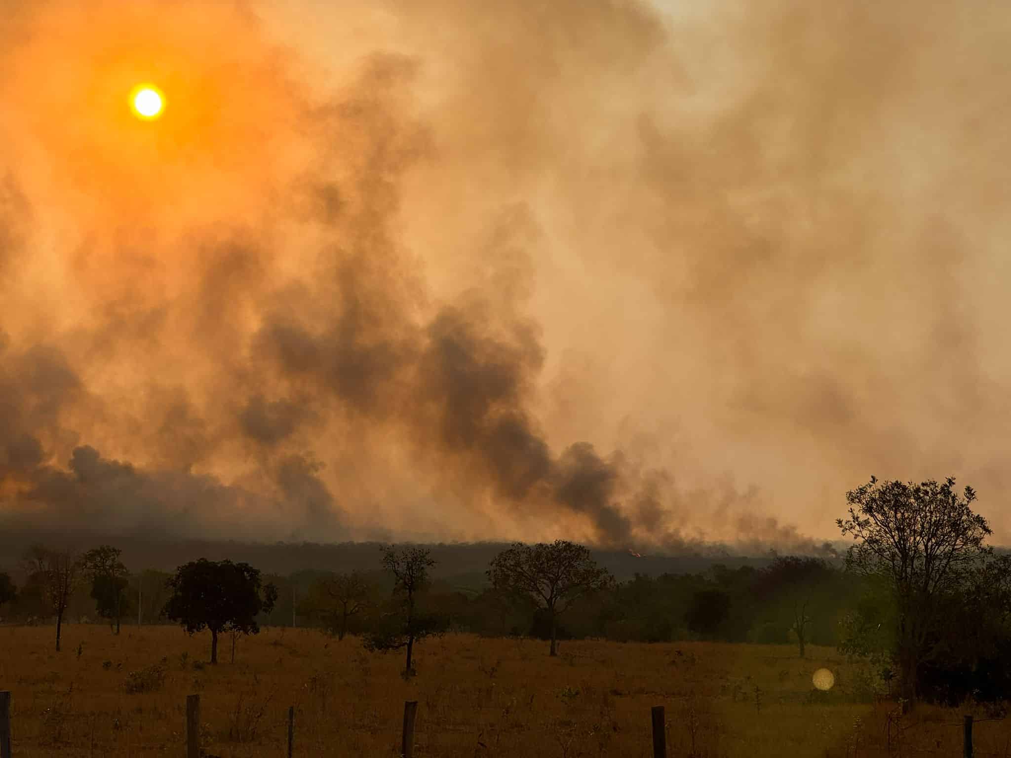
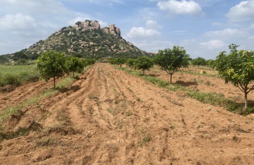
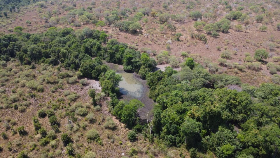
Fires burning in the Cerrado.
photo by Carlos Ferreira
A novel framework for defining and quantifying degradation in fire-prone tropical forests
Lead: Dr. Manoela Machado
Collaborators: Dr. Andréa Castanho, Dr. Marcia Macedo, Dr. Wayne Walker
Brazil’s vast tropical savanna, the Cerrado, is both a global biodiversity hotspot and a provider of vital ecosystem services. It is experiencing the highest deforestation rates among Brazilian biomes, driven primarily by the expansion of mechanized agriculture—nearly half of the Cerrado’s original vegetation is already lost. The region has weaker legal protections than the Amazon, resulting in land conversion being displaced into the Cerrado. Part of the challenge is that defining and measuring degradation in the Cerrado can’t be reduced to the loss of biomass alone: the biome is dependent on disturbances like fire that temporarily reduce biomass, but are also essential for sustaining ecological integrity. This project responds to increasingly urgent calls from government agencies, environmental nonprofits, and carbon market participants to develop an operational framework of Cerrado degradation that accounts for the ecosystem’s natural variability. This project will build Cerrado-specific definitions of degradation and deliver both a monitoring framework and a map assessing 2024 degradation. The team, including collaborators from IPAM and the University of Oxford, plans to build on these outcomes to seek funding for expanding this framework to other disturbance-dependent ecosystems, including savannas around the world.
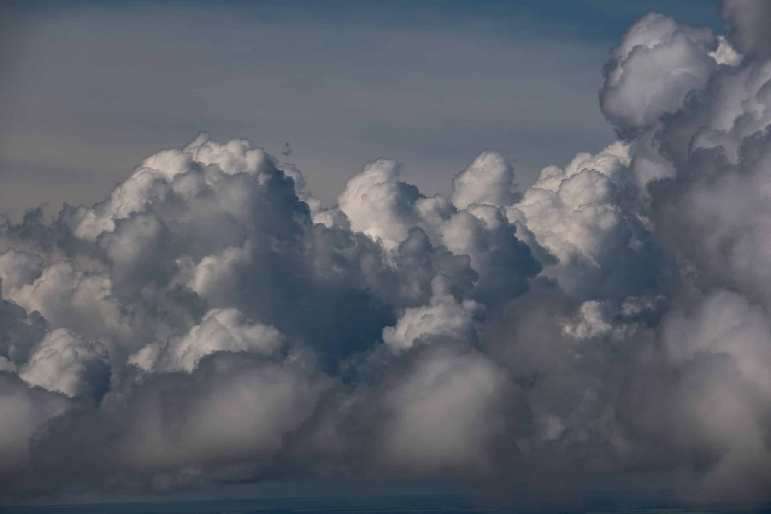
photo by Paulo Brando
Responsible solar geoengineering research and governance: Scoping a role for Woodwell Climate Research Center
Lead: Dr. Peter Frumhoff
Collaborators: Dr. Jennifer Watts, Jamie Cummings, Dr. Brendan Rogers, Dr. Christopher Schwalm
Researchers and policymakers are increasingly assessing the effectiveness and risks of solar geoengineering—interventions intended to rapidly cool the Earth by reflecting a portion of incoming sunlight back into space. Woodwell Climate previously established an organizational position that “responsible research is needed to inform decision-making regarding whether and how solar geoengineering should ever be considered for deployment.” This project will investigate whether Woodwell should further responsibly-governed solar geoengineering research, building on our strong position statement, our distinctive expertise in Arctic warming and federal policy engagement, and our relationships with Arctic Indigenous communities. The team will invite expert speakers for presentations to Woodwell staff; hold a series of scoping interviews with leading researchers, NGOs, Arctic community thought-leaders, and philanthropists; and co-convene an international workshop with the Harvard Kennedy School’s Arctic Initiative.
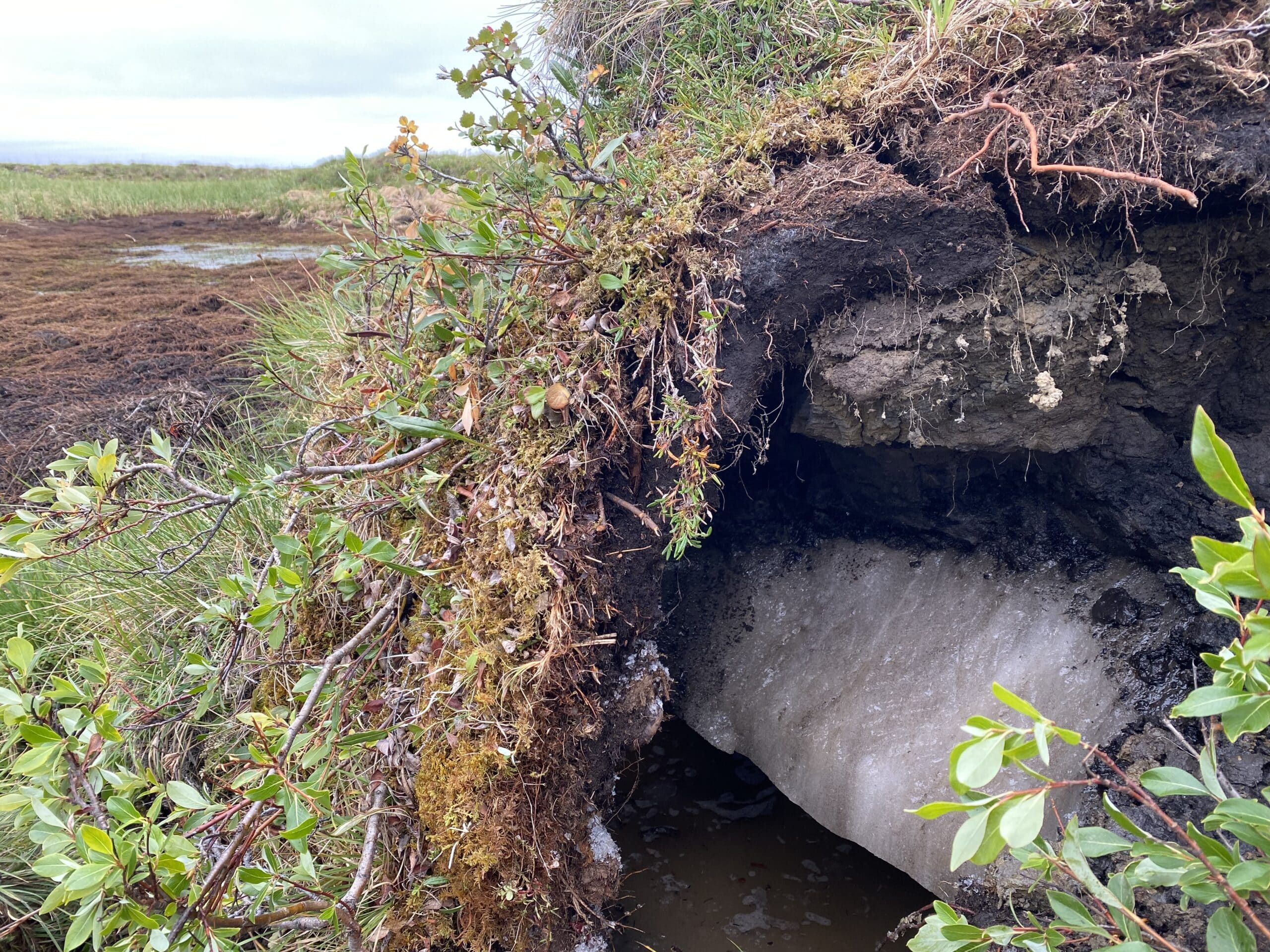
Vegetation growing in the soil active layer perches atop permafrost and ice in the Alaskan tundra.
photo by Anna Liljedahl
Understanding how wildfire impacts permafrost thaw depths
Leads: Dr. Anna Talucci, Dr. Brendan Rogers
Collaborators: Dr. Elchin Jafarov, Dr. Kayla Mathes, Dr. Christina Schädel
When high-latitude northern landscapes experience wildfire, plants and organic matter in the soil are burned away, leading to increased soil temperatures and permafrost thaw. Dr. Anna Talucci previously led a publication that synthesized existing research to drastically increase the amount of data that is available to modelers on the depth of actively thawing and re-freezing ground in burned and unburned research sites across the northern tundra and boreal regions. This project will build on that data to investigate what drives active layer recovery and fill key gaps to support permafrost modeling by Woodwell researchers. The team aims to publish their findings in a scientific journal and submit an abstract to present to colleagues at the next American Geophysical Union annual meeting. They will also develop a funding proposal to seek support in investigating the questions their research reveals about more complex permafrost-wildfire interactions.