Shades of green: Mapping forest stability
Not all forests are the same. New research has developed a way of distinguishing them from space.
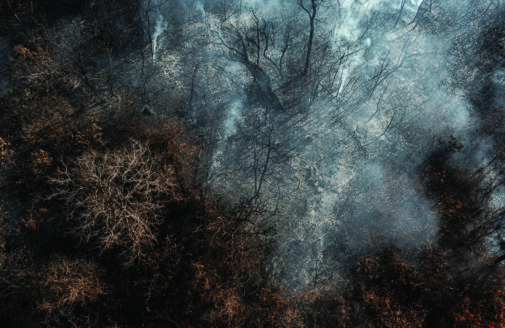
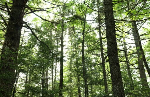
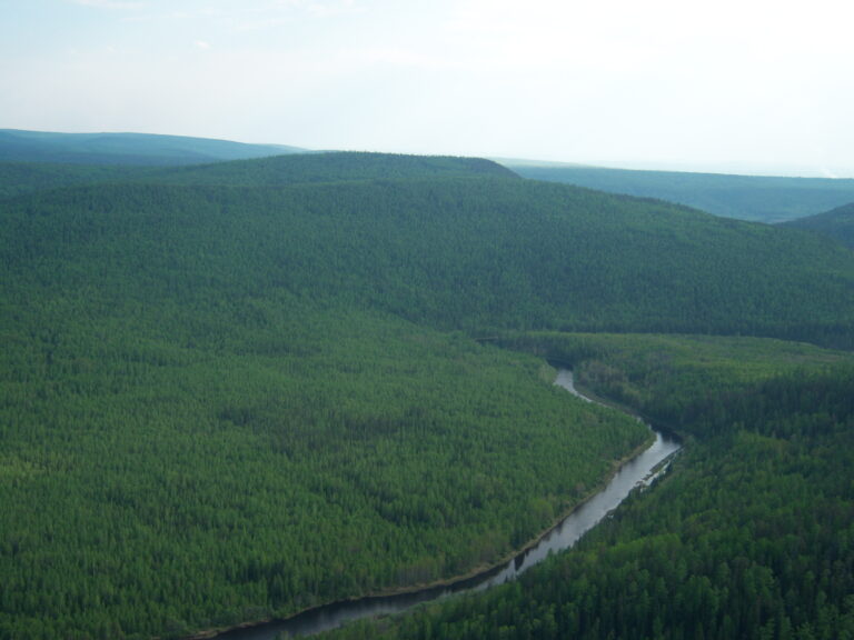
Forest in Western Siberia.
photo by Tatiana Shestakova
What’s new?
A recent paper offers new insight into the state of global forests. Using remote sensing imagery from MODIS satellites, researchers were able to categorize forest condition in two important biomes—the Amazon and the Siberian Taiga—differentiating between high stability, low stability, and non-forested areas. These “stability classes” provide another metric of assessing the conservation and carbon value of land, as high stability forests tend to be healthier, more resilient, primary forest stands that store large amounts of carbon and contribute to cooling the planet more than lower stability forests.
“Mature forests have higher biodiversity and create their own microclimate,” says paper co-author and Woodwell Associate Scientist, Brendan Rogers. “They’re more resistant to drought and other types of disturbance. And then because of that, they tend to be more stable in the face of environmental perturbations over time.”
Understanding forest stability
To estimate forest stability, researchers analyzed satellite data that combined measures of photosynthetic radiation with a canopy water stress index. That new approach was able to identify whether or not a forest has been disturbed by either human land use (ex. logging) or natural processes (wildfire, insects outbreaks, etc.) and map the degradation level.
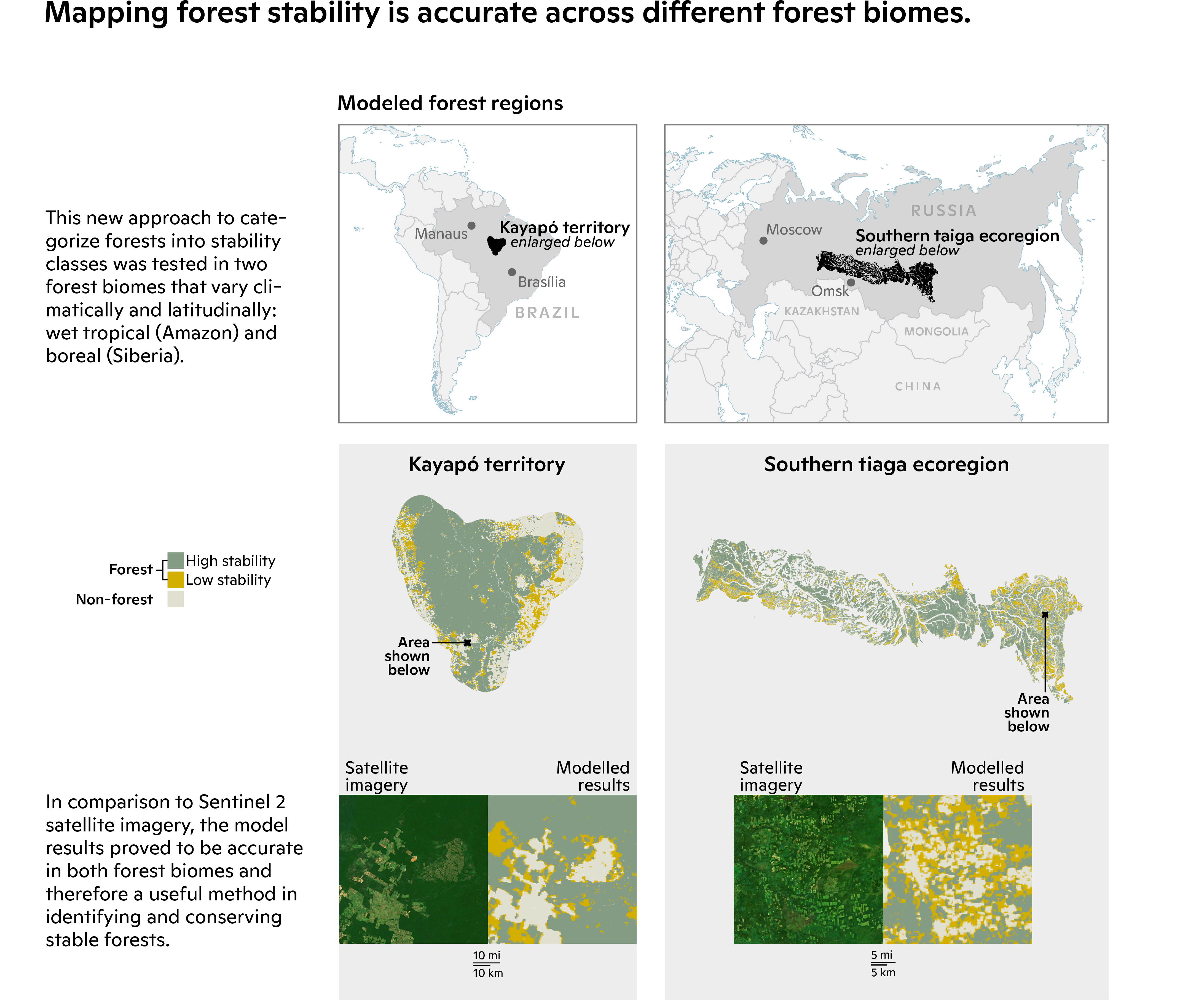
map by Christina Shintani
Co-author Dr. Brendan Mackey from Griffith University in Australia says that stability mapping is a first critical step in making an inventory of the world’s remaining primary forests which store more carbon, support the most biodiversity, and deliver the cleanest water.
According to Dr. Rogers, the less interruption in the ecological processes of the forest, the more secure the carbon stored in both the trees and soils are. Further human interference in an unstable forest could tip it into decline.
“I think one of the problems for primary forest conservation globally has been this idea that it’s either a forest or not a forest. So, internationally agreed upon definitions of what constitutes a forest sets a pretty low bar. You can get away with calling a plantation with very young trees a forest, but that could have been converted from a high biomass mature forest, and they’re simply not the same—not in terms of carbon, biodiversity, or ecosystem services,” says Dr. Rogers.
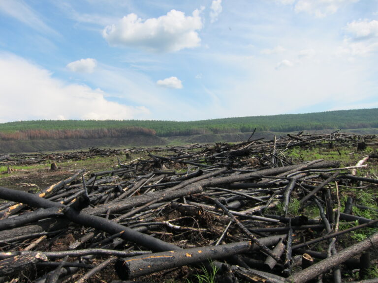
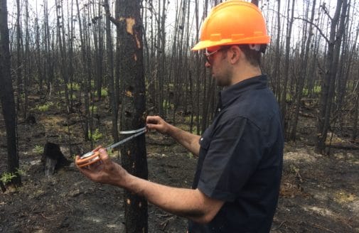
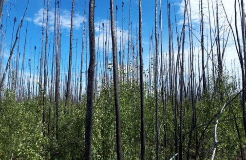
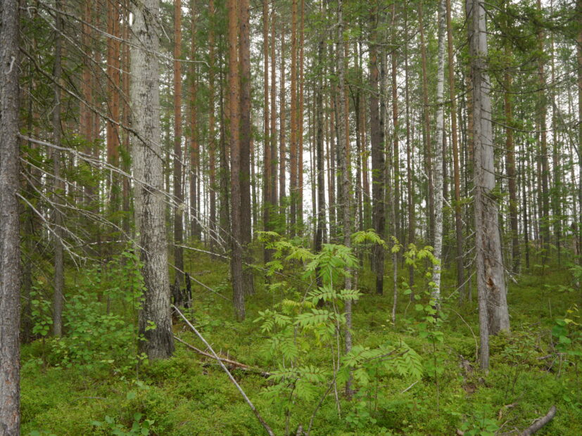
Stable vs. cleared forests in Siberia.
photos by Tatiana Shestakova
What this means for forest conservation
Using a gradient of forest stability instead of a black and white definition of forest/not-forest allows for more nuanced decision-making where both carbon monitoring and conservation planning are concerned.
“The first priority is to protect stable forests from further human disturbance, as once an area is deforested, it takes decades to centuries—and in some cases millenia—for it to regrow to a primary state. The second priority is to identify forest areas where restoration efforts will be most cost effective,” says Dr. Mackey.
According to the paper’s lead author, Dr. Tatiana Shestakova, this means places where a small investment could have bigger positive results.
“If you pick a forest that was degraded in some way, but it still keeps patches of more or less healthy forests, you can reinstate ecological processes faster and easier,” says Dr. Shestakova.
Dr. Shestakova said she encourages other researchers to apply the methods to their particular regions of expertise and expand estimates of forest stability globally.
“The benefit of this approach is that it was tested in such contrasting ecoregions, and has been proven to be a simple and efficient way to assess this important dimension of forest condition,” says Dr. Shestakova.