Woodwell Climate delivers key climate science to Amazon leaders
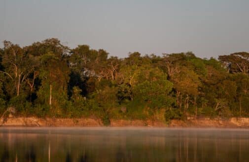
The Amazon is the largest tropical forest in the world, storing 40 percent of all tropical forest carbon and accounting for 15 percent of global photosynthesis. It covers more than 1.7 billion acres, stretching across nine countries. If the Amazon rainforest were a country, it would be the seventh largest in the world.
The carbon stored in this immense tropical forest is critical to the trajectory of climate change. The more carbon that remains locked up in trees, the less there is in the atmosphere. But deforestation and forest degradation (the death or removal of individual trees) are again on the rise. Exacerbating the issue, Brazil’s president has signaled a lack of support for protected forest areas.
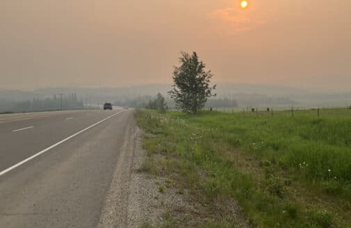
And while these human pressures increase, climate change impacts are taking a toll, with drought and wildfires ravaging areas of forest. While almost no fires occurred in indigenous reserves prior to 2006, wildfires are now seen every three to five years in drier regions.
On the frontlines of this struggle are land managers, government officials, and indigenous leaders responsible for managing and protecting the forests.
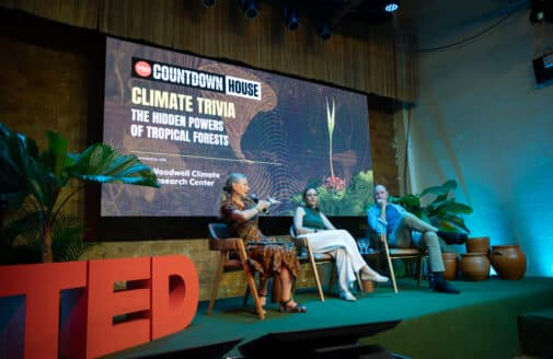
In the summer of 2018, Woodwell Climate Research Center scientists held four workshops to deliver the latest and best climate science to the people responsible for the future of the Amazon.
We want to translate our science into accessible formats that can inform their day-to-day management and broader policy decisions.Dr. Marcia Macedo
“Over the last decade, we’ve spent a lot of energy creating datasets on biomass and climate in the region. Too much of that information has stayed in the realm of scientific publications, and has not really reached managers in the region,” said Woodwell scientist Dr. Marcia Macedo. “There are a lot of people on the ground working in this space—people who are hungry for information to help them adapt to climate change. We want to translate our science into accessible formats that can inform their day-to-day management and broader policy decisions.”
The workshops were supported by the Gordon and Betty Moore Foundation, and held in Colombia, Ecuador, Peru, and Brazil. All told, more than 125 attendees from at least 50 institutes took part in the weeklong trainings. The events were based around a new tool developed by Woodwell Climate Research Center—the Climate Source (amazonclimatesource.org)—a website that uses satellite imagery and climate data to provide detailed projections on climate change impacts like temperature trends, extreme weather events, dry season lengths, and precipitation. Clicking on a specific region brings up an easy-to-read toolbar, with options to look at historical data or projections over different future time periods.

Above: Screen recording from the Climate Explorer interface.
“People who are managing forests often don’t have the time to dig into the scientific data, or read all the latest publications. The value of this data portal is that it condenses the latest science for the user in an accessible way,” Macedo said. “We can’t imagine all the potential applications for this kind of information.”
Attendees said that having access to climate data from a reputable and impartial scientific research organization was critical to getting it integrated into policies, regulations, and planning.
“When science is credible, legitimate, and relevant, then it can be delivered most effectively into policy,” said Julia Shimbo, a researcher at IPAM, Woodwell Climate’s longtime partner institution in Brazil.

Above & Below: AmazonClimateSource.org seminar in Peru
“We need to be able to manage protected areas using scientific climate data,” said Carlos Mogollon, an ecological engineer who works in the Peruvian Amazon for the national government agency that manages protected areas. Mogollon attended the Peruvian workshop in June. “We only have the perception of the climate change that we see happening in the protected areas. The challenge is to link those changes to scientific data. From there, we need to identify adaptation measures.”
Macedo said that Woodwell scientists want “to create a network of data savvy managers, and to translate [the data] in ways that can be passed on and taken up.” That network has already begun to develop, with connections forged during the workshops growing into online message groups and virtual collaboration. Within a month of attending the workshop, one Bolivian scientist was training other colleagues on how to use the Climate Source data.
Woodwell Climate scientists explained that the data were based on climate models from the U.N.’s Intergovernmental Panel on Climate Change.

“For future projections, we synthesized 25 global climate models from the IPCC,” said Woodwell scientist Dr. Andrea Castanho. “The models don’t predict exactly the same future conditions, but they do show a trend.”
The ultimate goal, according to Woodwell scientist Dr. Michael Coe, is a cadre of land managers who understand the climate data well enough to prepare for impacts, and to conserve critical areas of forest.
“We figure you are better off if you are informed. It’s been very hard for anyone who isn’t a scientist to ingest climate science data. You have to be very technical to be able to do that. So our goal is to take this technical stuff and make it very available,” Coe said. “We take complex information and make it accessible.”

He said that the team worked with end-users throughout the development, to ensure that the final product would be useful. Coe gave credit to IPAM for the philosophy that “you don’t try to change the user to understand the graph, you change the graph to fit the user.” As a result, he said, the workshop attendees threw themselves into the climate science.
“People have been very engaged. I think they come away with something new,” Coe said. “Already we’ve seen people go home from the last workshops and spread what they’ve learned to their colleagues. That’s exactly what we’d like to see.”