Team
- Jennifer D. Watts Associate Scientist
- Jonathan Sanderman Vice President of Science, Senior Scientist
- Mika Tosca Research Associate
- Andrew Mullen Research Associate
- Colleen Partida Research Assistant
- Iram Ikbal Inamdar
- Yushu Xia Xia Soil Systems Lab, Columbia University
- Jamie Duan Postdoctoral Research Scientist, Lamont-Doherty Earth Observatory of Columbia University
Rangelands hold 30% of global soil carbon. They could do more.
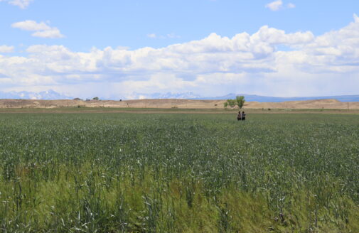
Over a quarter of the planet’s ice-free land is used for the grazing of livestock. Conversion of prairie to cropland and overgrazing has caused substantial soil carbon loss. However, through improved land management, rangelands offer an enormous opportunity to sequester CO2 from the atmosphere and limit climate change.
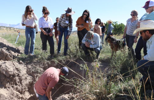
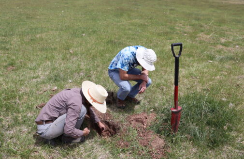
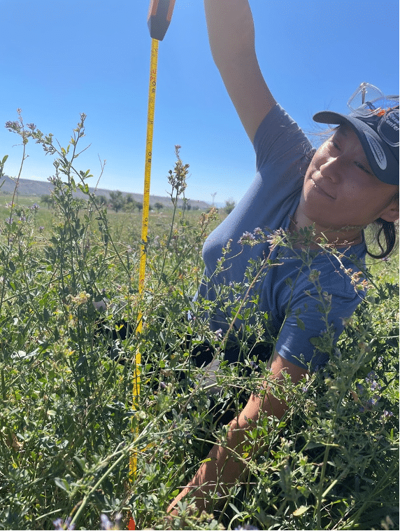
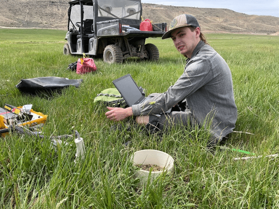
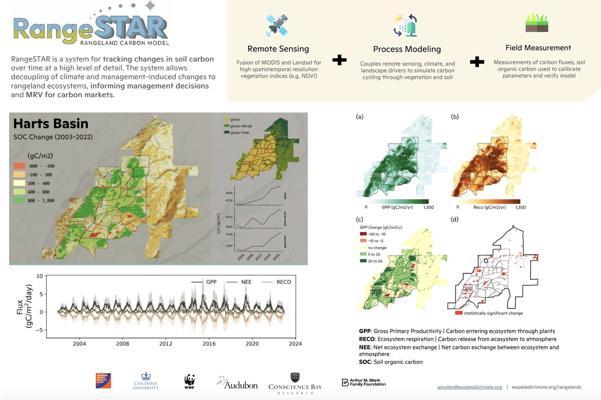
RangeSTAR is a tool that will help land managers seize this opportunity. It combines satellite imagery, ecosystem process modeling, and direct field measurement to track how soil carbon changes over time at the ranch level. For example, on the Harts Basin ranch in Colorado, the system detected significant soil carbon gains over a 20-year period, showing that sustainable grazing management can measurably bring carbon storage back to the land.


Together, these two maps animated continuously from 2002 to 2024 for Sun Valley, Idaho give land managers a living picture of their landscape’s health.
RangeSTAR tracks two key signals to understand how a rangeland is performing: Gross Primary Productivity (GPP) and Net Ecosystem Exchange (NEE). GPP shows how much carbon plants are pulling in through photosynthesis each season and NEE shows whether the land is gaining or losing carbon overall.
Selected Publications
- Regenerative Ranching and Climate Workshop
- A pathway to more sustainable rangelands
- Deciphering patterns in the dirt
- It’s not the cows, it’s the way we’re managing them
- Digging into Rangeland Soil Carbon Storage
Support provided by:
Conscience Bay Research
Mighty Arrow Family Foundation
J.M. Kapland Fund
Woodwell Fund for Climate Solutions
By discovering more accurate and affordable methods for monitoring soil health, the [Woodwell] project team will lead us towards management practices that can literally heal the earth.Eli Feldman, Conscience Bay Co.
Partners & Collaborators