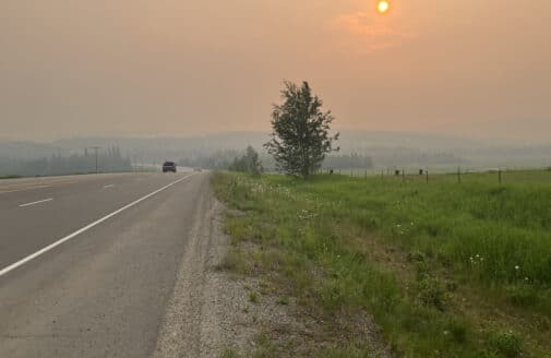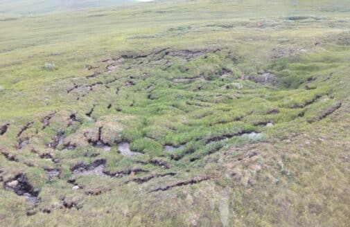
I use satellite imagery to map wildfires in Alaska and Canada and study how they’re melting the permafrost, or frozen ground, beneath them. This work helps us understand how fire is changing the shape of the land across the North.
With the Arctic warming at nearly four times the rate of the rest of the world, there is an urgent need to understand how fire and frozen ground interact. I am driven to provide high-resolution data that helps us navigate the dynamics of this complex region, ensuring my research serves both the global scientific community and the people living on the front lines of these changes.
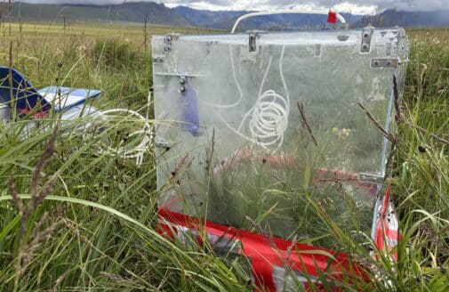
My research is grounded in field experience on Alaska’s North Slope. There, I studied how permafrost and vegetation respond to a warming climate, learning from the Indigenous communities directly impacted by these shifts. With the NASA DEVELOP program, I collaborated with Utah state leaders to analyze the link between invasive species and wildfire risk. Today, these diverse perspectives inform my focus on using remote sensing to protect and monitor our most vulnerable landscapes.