Are stratospheric polar vortex disruptions what they seem?
Researchers demonstrate a new method, excluding tropospheric influences to more precisely identify patterns and behaviors of the stratospheric polar vortex
A weak or distorted stratospheric polar vortex (SPV) is often associated with severe winter weather in Northern Hemisphere continents. Traditional metrics of the SPV state, however, may conflate influences from both the stratosphere and the troposphere below, obfuscating attribution of weather extremes. In a new paper, published this month by Climate Dynamics, researchers present a new method that more clearly separates variations in the two atmospheric layers and their contributions to severe winter weather.
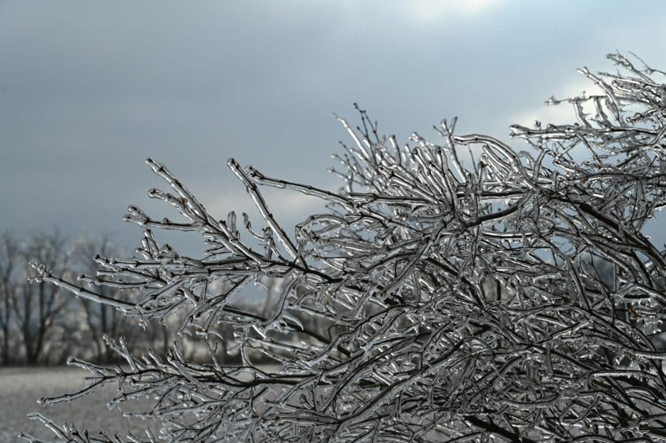
Depending on your feelings toward cold and snow, the headline “The Polar Vortex is Coming!” may instill dread or delight. The Polar Vortex first entered dinner-table conversations during the extreme winter of 2013/14, the coldest North American winter of the 21st century, and has since been used—often incorrectly—as shorthand for any cold or snowy spell. The polar vortex is a pool of frigid air encircled by strong westerly winds that sits high above the polar regions during winter only, and normally it has little influence on weather at the surface. But when it becomes disrupted from its typically circular shape—either stretched to an oblong, split into separate swirls, or greatly weakened—extreme winter weather can ensue, including severe cold, snow, and even winter heat waves.
One of the ways scientists track the behavior of the stratospheric polar vortex is to monitor the height of a constant pressure surface that exists within the stratosphere. Pressure decreases at higher altitudes because there are few air molecules above that level. The height of a pressure surface bulges and shrinks depending mainly on the temperature of the air below it: warmer air expands and cooler air contracts. Height fluctuations of a level in the stratosphere, then, are caused by temperature changes in the whole column of atmosphere below that level, not only in the stratosphere. Disruptions to the SPV detected using pressure heights, therefore, may be misleading as to their cause.
“As I explored the role of stratospheric disruptions on extreme winter weather, it occurred to me that there might be a better way to measure those disruptions,” said Dr. Jennifer Francis, Senior Scientist at Woodwell Climate Research Center and lead author. “Focusing on the stratosphere itself rather than the whole atmospheric column helps separate the influences from the two layers, which often behave independently.”
The authors analyzed the thickness of a layer in the stratosphere using an AI-based approach to identify representative patterns in the SPV, including various types of disruptions.
“The new metric revealed an increased occurrence of strong and abnormally cold SPV patterns,” added co-author Natasa Skific, Researcher at the Woodwell Climate Research Center. “This is different from findings in earlier studies based on pressure heights. Our findings make sense because higher concentrations of greenhouse gases cool the stratosphere, causing a stronger SPV.”
Paper co-author Dr. Judah Cohen, Research Scientist at MIT Parsons Lab and Director of Seasonal Forecasting at Atmospheric and Environmental Research, noted the previously underappreciated common occurrence of vortex stretching, which often contributes to cold spells in the U.S. and central Eurasia.
“The results of our study fit with other work highlighting the importance of stretched-vortex states on severe winter weather. Our new metric helps isolate the stratosphere so we can better understand its dynamics and connections with weather extremes, atmospheric blocking, and amplified Arctic warming.”