Scientists add mature and old-growth forest assessment to LEARN tool
Data analysis system generates local carbon estimates
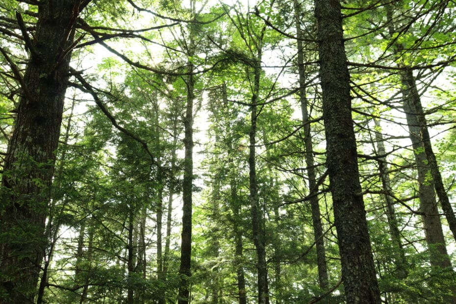
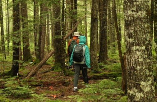
The tree canopy of Howland Research Forest in central Maine.
photo by Jonathan Kopeliovich
Trees play a crucial role in mitigating the effects of climate change by absorbing climate-warming carbon dioxide from the atmosphere. As temperatures climb and human activities release more and more carbon, managing and protecting trees has become essential to curbing global warming.
In 2021, partners at Woodwell Climate Research Center, Local Governments for Sustainability (ICLEI), and the World Resources Institute (WRI) launched a tool providing communities with fine-scale information about their trees to better manage and protect them.
The Land Emissions and Removals Navigator (LEARN) tool is an interactive map and data analysis system that contains remote sensing and forest inventory data on tree cover, land use change, disturbances, and carbon stocks. Users—mostly county and municipal planners—can generate a custom estimate of carbon emissions and removals from trees for any area in the contiguous United States.
“That’s the idea with the LEARN tool—it makes these complicated datasets readily accessible,” Dr. Rich Birdsey, Senior Scientist at Woodwell Climate and collaborator on LEARN, says.
Easily accessible tree cover data gives community members the opportunity to take action at the local level. For example, a city planner might use LEARN to see if trees are gaining or losing cover in their city. If trees are losing cover, they can work with their municipal departments to increase the urban canopy.
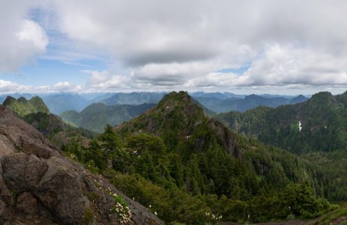
In the last year, scientists added the ability to identify mature and old-growth (MOG) forests to the tool. MOG forests are the later stages of forest development, where trees are larger and store more carbon than younger forests. They are also more resilient and adaptive in the face of disturbances and play a role in maintaining biodiversity by providing habitat for wildlife. This makes them a high priority for protection.
In addition, users can now view the protection status of an area. Ranging from low to high, they describe what activities—such as logging and mining—are allowed in the area. Users can draw connections between activities and carbon estimates, and hopefully, change local land management practices to better protect their trees.
LEARN’s protection statuses include:
- Low Protection: These areas lack full protection from land conversion, with some allowing extractive uses like logging or mining while protecting endangered species, and others having no mandates preventing habitat conversion, often involving private or developed lands.
- Medium Protection: This category includes USFS Inventoried Roadless Areas, which currently have protection from land conversion, but allow for moderate uses or management practices, not including commercial timber harvest, that may impact natural communities.
- High Protection: These areas have permanent protection from land conversion or active management, maintaining a natural state with only a few exceptions such as addressing safety concerns.
“The assessment is more relevant now because the Department of Agriculture has proposed a rule that would relax forest protections, particularly with respect to roadless areas,” Birdsey says.
In June, U.S. Secretary of Agriculture Brook Rollins announced that the U.S. Department of Agriculture is rescinding the 2001 Roadless Rule. The rule protected 58 million acres of roadless land within the National Forest System from construction and commercial logging. With no protections for roadless areas, logging and commercial uses of land will be allowed.
“Because of the large area currently designated as roadless, and the significant area of mature and old-growth forests within these areas, this is of great concern to the conservation community,” Birdsey says.
Birdsey hopes that the LEARN tool can mobilize community members and land managers to take action. Whether it be working with local governments to protect MOG forests or connecting neighboring counties to each other, communities can collaborate to tackle climate change on a local level.
“Since federal policies are opening up more public land to logging, it is becoming more important than ever for local communities to weigh in on forest management plans,” Birdsey says.
Latest in Carbon

- In The News
Woodwell Climate Research Center to expand soil carbon testing capacity
- In The News