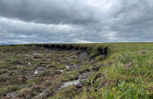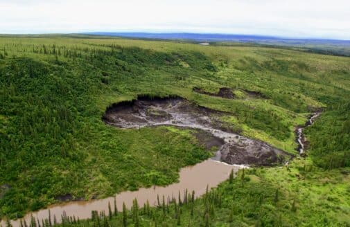
I am building a map that identifies the areas across Alaska and Canada where stored carbon is most vulnerable to being lost due to wildfires—both via combustion, and post-fire permafrost thaw. This work supports fire managers in advancing climate mitigation strategies, providing them with high-quality data about where wildfires could have a large impact on carbon emissions.
The impact of climate on carbon cycling and emissions has been a common theme throughout my career, from studying permafrost ecosystems to urban landfills. 15 years of field work in the circumpolar Arctic and several years spent living in Alaska provided me with a familiarity of the landscape that helps me to map and model remote sensing data. I enjoy using statistics to dig deeper and find the stories in complicated datasets.