Woodwell workshop brings Indigenous firefighters to Brasilia
A week-long workshop encourages knowledge sharing between Indigenous Brazilian fire brigades
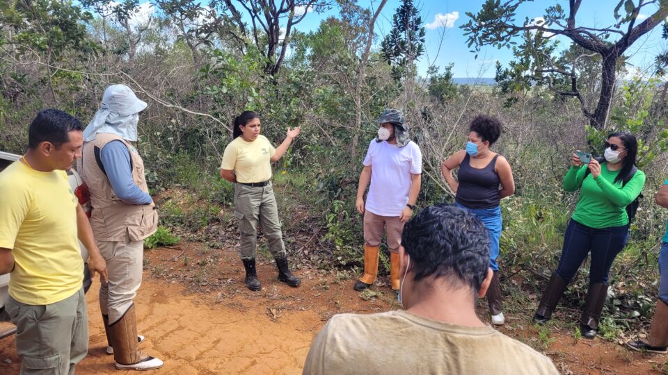
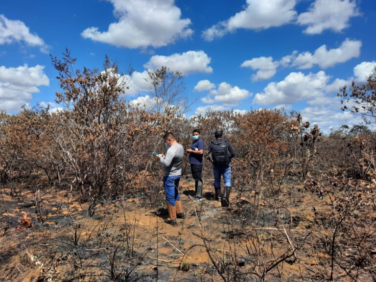
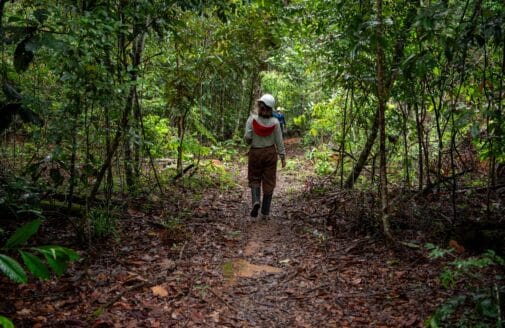
Participants on a day trip to Brasília National Park.
photo by Manoela Machado
On March 28, 2022, firefighters from Indigenous communities across Brazil gathered in Brasília, the country’s capitol, for a week-long geography and cartography workshop. The workshop, a collaboration between the Coordination of Indigenous Organizations of the Brazilian Amazon (COIAB) and the Amazon River Basin (COICA), IPAM Amazônia, and Woodwell Climate Research Center, walked participants through the basics of using Global Information Systems technology to monitor and manage their own lands and forests.
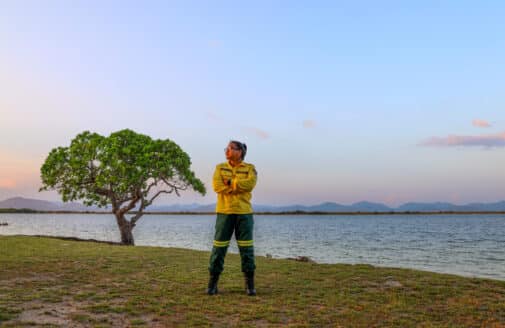
Forests and native vegetation on Indigenous lands have been sustainably managed for millenia, and studies have found Indigenous stewardship of forests is an effective measure for preventing deforestation and degradation. Escaped fires can present a threat to forests, and many Indigenous communities have their own brigades that work on detecting and preventing runaway fires. In some places, prescribed burns are used as a tool for shaping and cultivating the land.
Participants attended from Indigenous lands located in a variety of Brazilian landscapes—from the Cerrado, to the heart of the Amazon. Despite differences, participants found learning from other Indigenous communities extremely valuable.
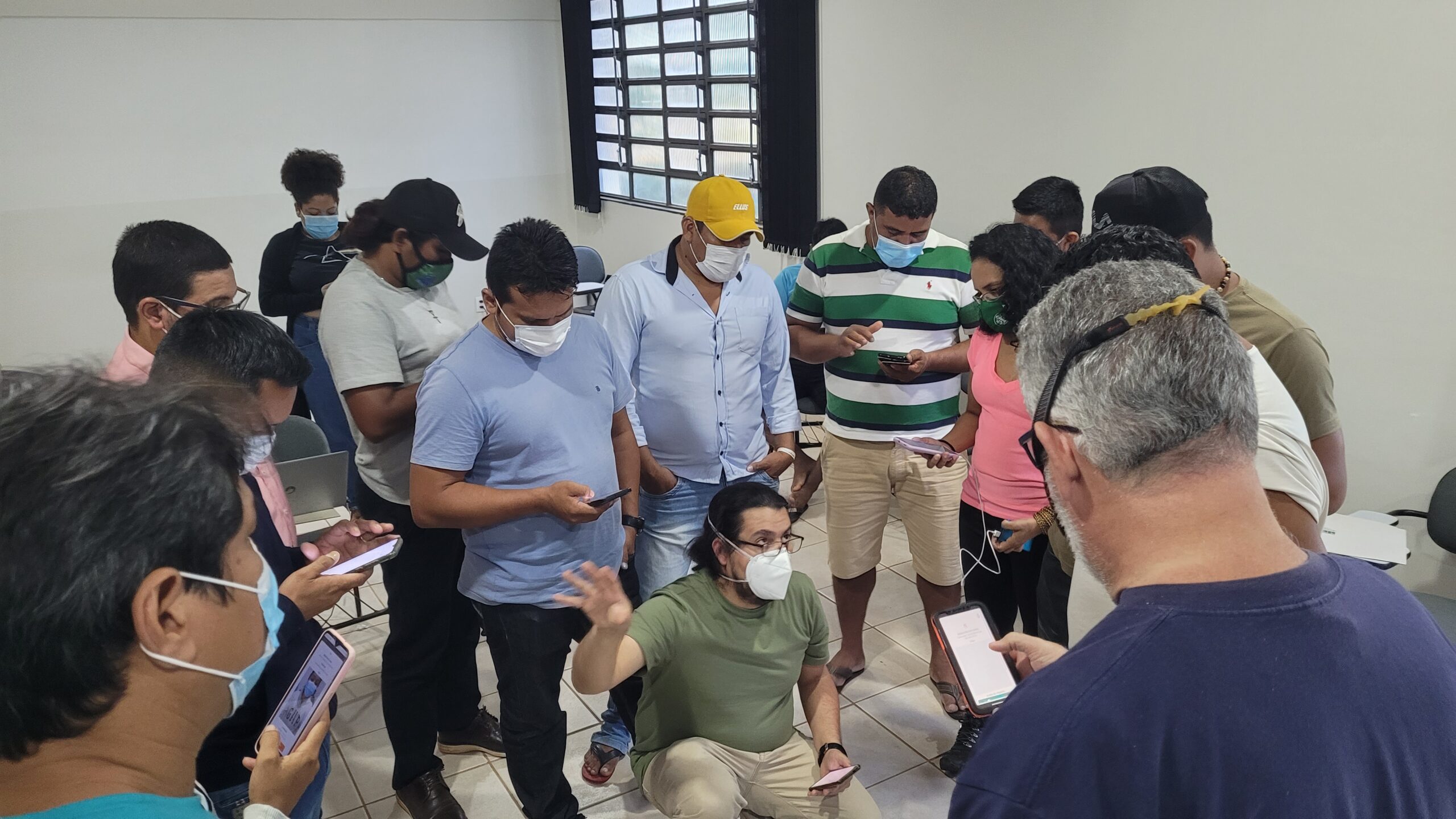
Workshop participants share expertise during the sessions.
photo by Manoela Machado
“People came with a variety of skill sets,” said Woodwell Water Program Director Dr. Marcia Macedo. “What was most meaningful for participants was seeing other people like them, who do the same work and are also Indigenous people, already dominating material, knowing how to make the maps, and helping others. It gave them confidence that they could also figure it out.”
After a day of introduction to the core concepts of GIS and mapping, participants headed out to Brasília National Park to test their newfound skills. They visited burned areas from both an escaped fire and a prescribed burn, compared the two, marked GPS points, and took pictures. The data gathered on the field trip was used over the next few days to practice making maps.
“The goal was to not only teach the theory and help them understand the steps for making maps, but also mainly to develop the skills for them to be able to apply to their own lands on their own time,” said Woodwell postdoctoral researcher, Dr. Manoela Machado, who helped organize the event.
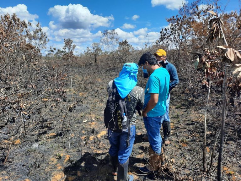
During the field trip, participants visited recently burned landscapes.
photos by Manoela Machado
The workshop also fostered discussions about the complexity of management when fire can be both a threat and a tool. Because fire manifests differently in different biomes, well-managed fires look different for each community.
“On the final day, we had a discussion of values. Is fire good or bad? For whom—ants, forests, human health?” said Dr. Machado. “You can’t just criminalize fire if it’s a part of traditional knowledge and used as a tool for providing food, for example. So it’s a complex issue.”
Dr. Machado hopes the conversations will continue. She says the goal would be to host this workshop again to expand its reach, potentially beyond Brazil to include participants in other Amazonian countries.
Latest in Tropics
- In The News
Twelve women carrying the flame for climate action despite the headwinds
- In The News
What the COP30 climate summit in the Amazon delivered for forests and Indigenous people
- In The News