Climate risk assessment: Ethiopia
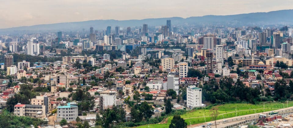
Residential districts with rapidly developing downtown of central business district of Ethiopian capital Addis Ababa, Ethiopia.
photo by Vadim Nefedov
Introduction
The impacts of climate change on the frequency and severity of physical hazards are putting many communities at risk. As the threat of climate change grows, so too does the need for accessible information, tools, and expertise to support climate-resilient decision making across multiple scales, from communities to countries. Woodwell Climate Research Center believes there is a need to localize and customize climate risk assessments. This information is critical for local government leaders as they make planning decisions, but it is not available to all communities. Woodwell believes that this science should be freely and widely available. To address this gap, Woodwell works with communities and countries across the world, including Ethiopia, to provide community climate risk assessments, free of charge.
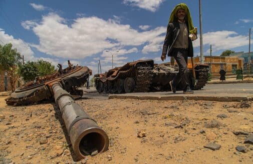
Ethiopia, with its rich cultural heritage and about 126.5 million people (2023¹), faces growing climate challenges that also impact its economic priorities and natural resources. Located on the horn of Africa, Ethiopia boasts a diverse range of climates, from tropical forest in the southwest to desert in the north. Rain-fed agriculture forms the livelihoods of many of Ethiopia’s communities—agriculture accounted for nearly 35% of Ethiopia’s GDP in 2020.² Ethiopia experiences the effects of increased climate variability through extreme hazards including droughts, floods, and landslides across different parts of the country.
Ethiopia has established a strong policy landscape for climate action through several strategic initiatives. The national government has demonstrated their commitment to addressing Ethiopia’s climate future by embracing the Sendai Framework for Disaster Risk Reduction and incorporating resilience principles into its first Nationally Determined Contribution (NDC) to the UNFCCC submitted in 2017 and revised in 2022. In addition, Ethiopia has outlined its commitment to sustainable development through key policy frameworks, including the Ten-Year Development Plan (2021–2030), the Long-Term Low Carbon Emission Development Strategy (LT-LEDS 2020–2050), the Climate Resilient Green Economy Strategy (CRGE), and the National Adaptation Plan (NAP), aimed at mitigating risks associated with climate change and environmental degradation. Woodwell’s quantitative risk assessment of extreme precipitation, flooding, drought, and streamflow patterns builds upon Ethiopia’s deep knowledge systems and aims to complement existing national frameworks. This report intends to provide local data insights to support decision-makers and communities to take evidence-informed approaches for resilience.
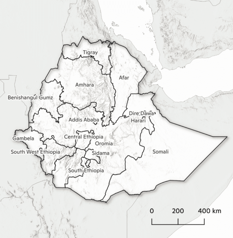
The climate of Ethiopia is heavily influenced by its imposing topography. The country can be roughly divided into the highlands that make up most of the western half of Ethiopia and the lowlands which consist of southeast and northeast Ethiopia. These two zones differ significantly in the distribution, intensity, and seasonality of rainfall. This variation affects water availability, agriculture, and climate resilience across the country. The highlands generally see around 1,500 mm of rainfall per year (Figure 1) which falls mostly during the Kirempt season (June–September). The lowlands receive considerably less rainfall, about 300 mm annually, which occurs largely during the Belg rainy season (February–May).
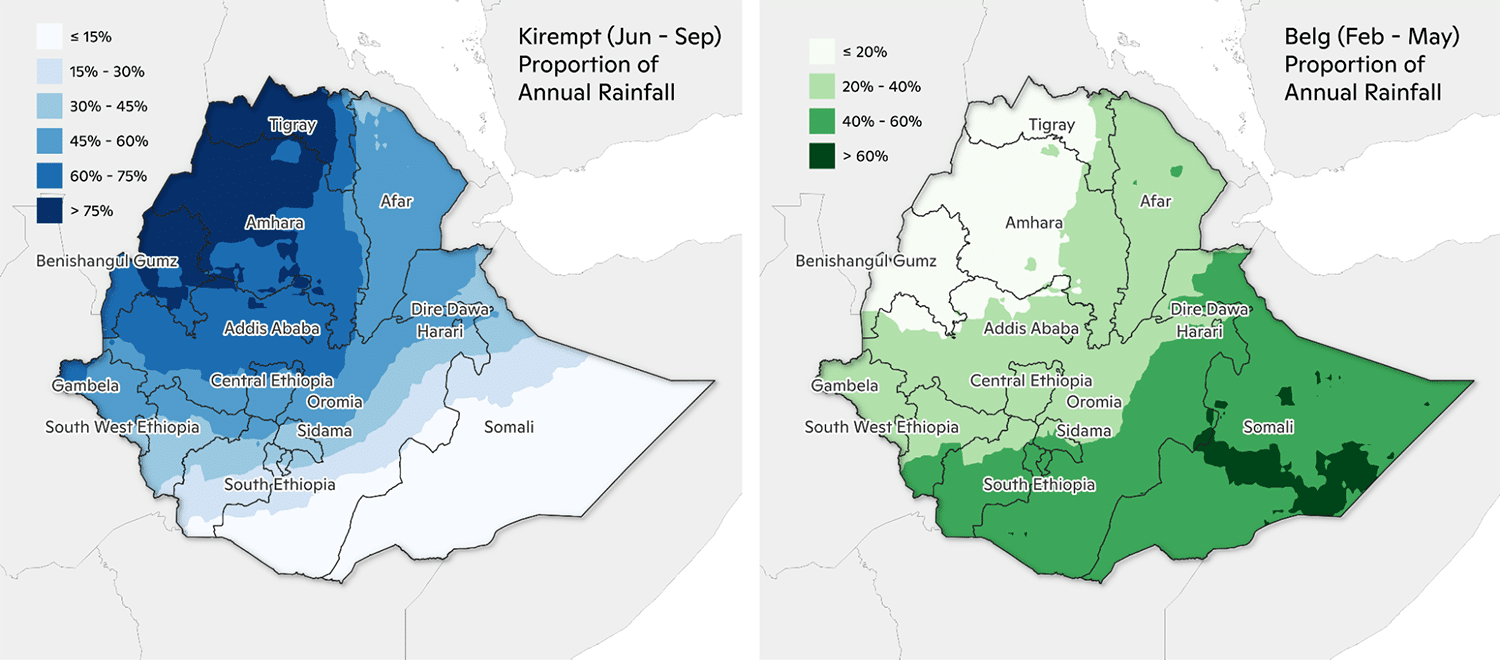
Figure 1 The spatial distribution of rainfall for the Kirempt (Jun–Sep) and Belg (Feb–May) rainfall seasons as a proportion of annual rainfall using MSWEP data (see Methodology for details on data source).
Due to this sharp gradient in annual rainfall, the type of agriculture to support livelihoods differs between the highlands and the lowlands. Crop-based agriculture dominates the highlands (Figure 2), while as one moves southeast and northeast towards the lowlands, pastoral communities become more prevalent. Approximately 94% of Ethiopia’s crop production occurs in the Meher season (September–February) which is largely a product of the Kirempt rainy season.³ A failure of the summer rains would be devastating for the Ethiopian people, especially since more than 85% of the labor force is engaged in the agricultural sector, with only 5% of crop production is irrigated, making the sector highly dependent on rainfall.⁴ Internal climate variability can lead to large swings in annual rainfall from year to year leading to a drought prone environment. Additionally, bursts of extreme precipitation that cause flooding can occur in drought years resulting in concurrent disaster events.
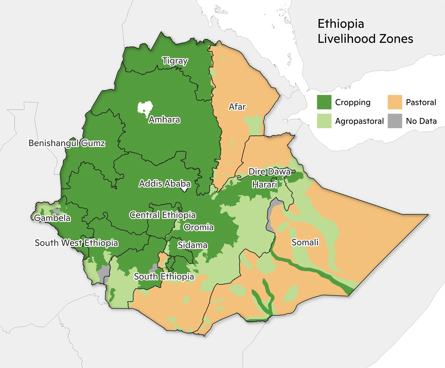
Figure 2 Source: Government of Ethiopia, USAID.
Results summary
We assess impacts across three time periods in this analysis: a historical period (labeled 2000), a near future time period (labeled 2050) and a late future time period (labeled 2070). These correspond to warming levels of 1.1°C, 2.6°C, and 3.6°C, respectively, relative to the preindustrial period (1850–1900). Future results are based on the fossil-fuel intensive SSP5-8.5 scenario; see Methodology for further information.
We show that climate change will reshape weather patterns across Ethiopia, posing significant challenges to water availability, agriculture, and livelihoods. The projected increased frequency and intensity of extreme weather events, particularly droughts and floods, will impact both highland and lowland communities. Extreme drought risk will increase moderately (1x–1.5x historical probability) in Somali by 2050 and significantly (1.5x–2x historical probability) in northwestern Ethiopia by 2070. Mean annual streamflow, low flows, and high flows in the north central portion of the country are projected to increase in volume. Extreme precipitation will also intensify with the historical 100-year rainfall amount increasing 20%–30% by 2050 and 30%–40% by 2070 for the majority of Ethiopia. Flood risk is generally concentrated within the central Rift Valley of the country and in Somali where communities have developed within the floodplain. We estimate that the 100-year flood will impact more than 840,000 structures and cause greater than $1.2 billion 2020 USD ($1.47 billion in 2025 USD), or more than 47 billion 2020 Birr (192 billion in 2025 Birr)⁵, in building damages.
With the inclusion of additional local data, the climate change projections and risk metrics within this report can be generated at high resolutions for additional parts of the country, and with greater accuracy, to provide even more actionable information for policymakers. Here we present our findings on drought, streamflow, extreme precipitation, and flooding to help Ethiopia in its plans to create a more resilient future for all residents.